Today
Sep 14
Light drizzle
30° / 21°
Rain chance 94%
Cloud-sea viewing index
33 Low
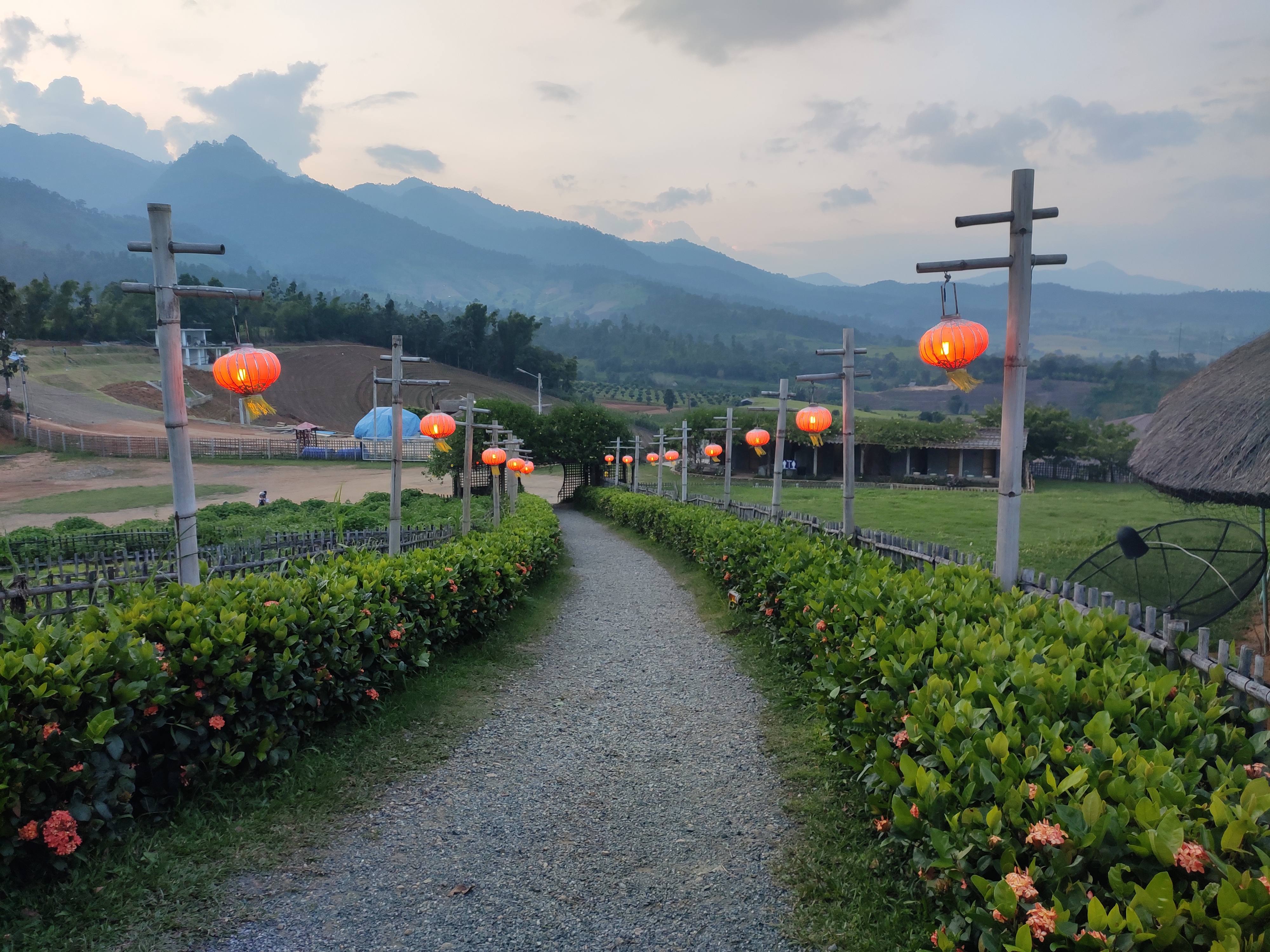
A Sea of Clouds Above Pai
Yun Lai Viewpoint rises on a ridge above Pai, Mae Hong Son, offering a 360° panorama of layered mountains and a sea of morning clouds that drifts through the valleys like a slow white ocean.
Rating and review count synced from Google Maps user reviews · September 2026 · See all reviews on Google Maps ↗
View on Google MapsVIEWPOINT
Yun Lai
Yun Lai Viewpoint
🌤️ Clear · Golden-light 85%
Sun & Sky Planner
Based on the viewpoint's real coordinates
Times shift with the seasons and weather
Overview
Welcome to Yun Lai Viewpoint, widely recognized as the central Yun Lai. Located in the heart of Pai, Mae Hong Son, Thailand, this destination serves as a primary hub for travelers visiting the region.
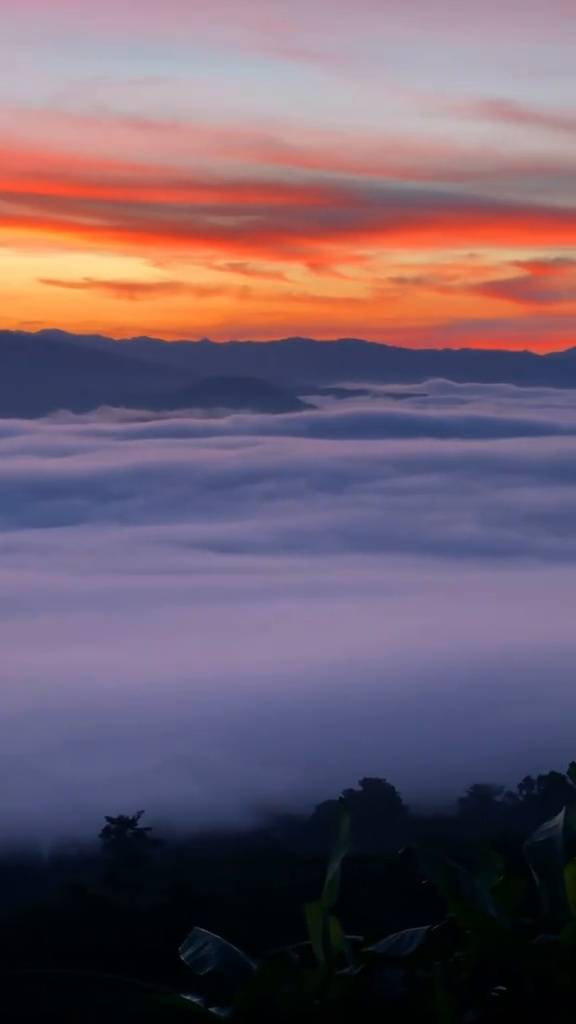
“Yun Lai” means “clouds arrive” — a name that captures the moment the morning sea of clouds rolls in. Perched on a northern ridge of Pai District in Mae Hong Son, it is one of Northern Thailand's finest spots to watch cloud seas and the sunrise.
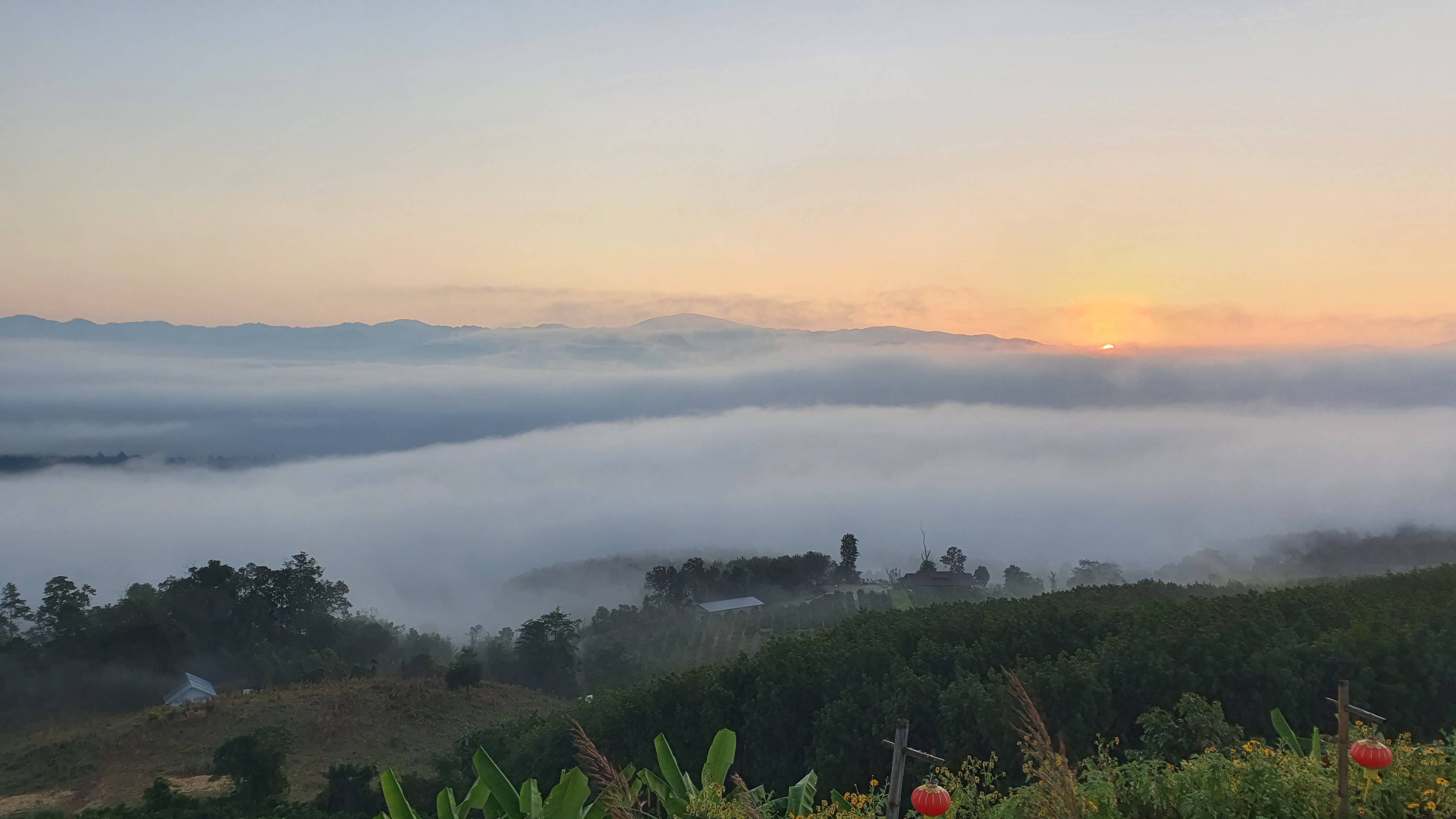
From the viewpoint you see limestone ranges and evergreen forest rippling outward, with green rice fields and villages far below. On clear mornings the mist settles into a wide white sheet that, in the right conditions, looks like a slow-moving ocean.
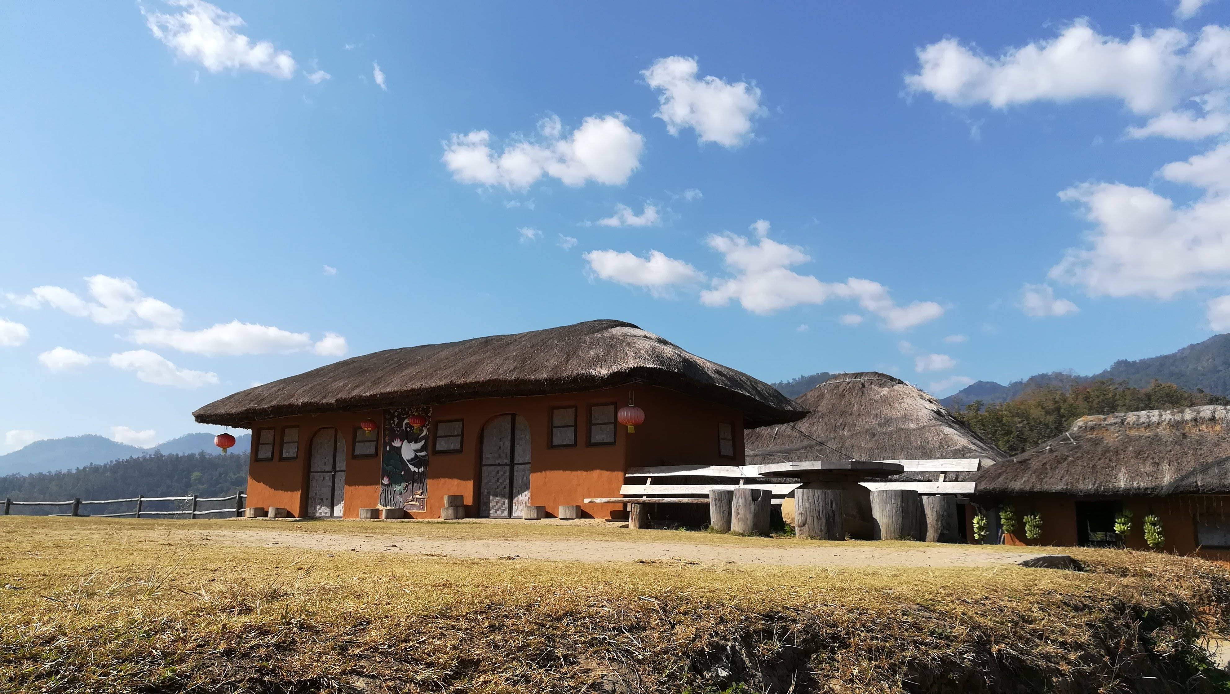
The area is tied to the Yunnan Chinese communities who migrated to Pai and Mae Hong Son in the 19th–20th centuries. Their tea culture, flower gardens and wooden architecture are woven into the experience of visiting this ridge.
When visiting Yun Lai Viewpoint, visitors can easily explore surrounding historical landmarks and points of interest, including the WWII Memorial Bridge and Tha Pai Hot Spring.
““When the mist drifts in, the mountains become islands in a white sea.””
Yun Lai suits photographers and nature lovers alike — come at dawn for the best light and the fullest cloud sea.
Plan your visit →Ridge weather
The quality of the cloud sea is decided overnight by temperature, humidity and wind. Readings below are taken at the ridge coordinates and refresh on every visit.
Updated · Live values replace the last synced reading as soon as your connection is available.
Low · Warm, breezy or heavily overcast — a settled sea of cloud is unlikely this morning.
Weighted from overnight temperature, humidity, wind speed and sky cover.
What to wear Ridge temperature now: 30°
Warm and still — sun protection and drinking water matter more than extra layers.
Meteorological readings refresh automatically every hour.
Swipe the daily strip to see the full week.
Seasonal planning
A ridge at roughly 1,200 m behaves differently in every season. The table below combines long-term climate averages with field observations from local guides, so you can match your month to the experience you actually want.
Thirty-year monthly normals for the Pai basin, covering rainfall days together with mean daytime highs and night-time lows.
Share of mornings per month in which a continuous cloud layer was observed filling the eastern valley before 08:00.
Bird and butterfly activity, flowering cycles and the regional burning period, recorded by local guides and long-standing visitors.
Swipe the table sideways on a phone.
| Season | Months | Avg high / low | Cloud-sea mornings | Rain days | Wildlife & phenology | Verdict |
|---|---|---|---|---|---|---|
| Cool-season peak | Dec – Jan | 28° / 12° | Very high · ~70% | 1–2 days | Dry-season migrants arrive; ridge grasses go to seed | Best overall |
| Shoulder cool | Nov & Feb | 29° / 14° | High · ~55% | 2–4 days | Wildflowers open; butterflies emerge on warm afternoons | Very good |
| Hot season | Mar – May | 34° / 18° | Moderate · ~30% | 4–8 days | Peak dawn birdsong; agricultural haze builds in Mar–Apr | Widest horizons |
| Rainy season | Jun – Oct | 31° / 21° | Erratic · ~35% | 15–22 days | Forest at full leaf; frogs and insects peak at dusk | Dramatic, but wet |
Book December or January. Nights are coldest, humidity peaks before dawn and the valley fills most reliably.
February and November deliver dependable cloud with roughly half the visitors of the peak weeks.
March and April bring the widest horizons, though agricultural haze can soften distant ridgelines.
June to October is lush and dramatic, but allow buffer time for wet, winding roads.
Routes & plans
Three tailored plans for different travellers, plus the two standard routes most visitors follow. All timings assume you set out from Pai town.
Keeps walking distances short and warm-up breaks close at hand, so young children stay comfortable in the cold and the mist.
Built around the two windows when light does the most work: the blue hour before sunrise and the warm hour before dusk.
Uses the paved approach and the timber deck, where the whole panorama is visible from a seated position without stairs.
Duration: 4 – 5 hours
First-time visitors, short stays, anyone on a tight schedule
Leave while the streets are still empty; the climb takes 25–35 minutes in the dark.
Park, collect a hot drink and take a bench on the main deck before the light changes.
The valley sits under a flat cloud deck. This is the quietest, most photogenic phase.
The cloud layer lights from the top down and begins to break apart over the ridges.
Warm up at the tea corner, then walk the fifteen-minute ridge loop.
Descend before the heat builds, with the option to stop at the memorial bridge on the way.
Duration: 8 – 10 hours
Travellers with their own transport who want the ridge and the valley in one day
Head north on the ridge road well before first light.
Blue hour, sunrise and the cloud sea from the main deck.
Hot tea and light snacks while the mist lifts off the valley floor.
Walk the ridge loop, then explore the terraced tea plots and flower beds.
Follow the loop road down toward the river crossing and the historic bridge.
Local food stalls and small restaurants cluster around the hot spring area.
Soak in the hot springs or continue along the loop road at an easy pace.
Choose a west-facing viewpoint for the warm hour before dusk.
Back in town for dinner; the ridge road is unlit, so avoid descending late.
Ridge mornings sit 4–6 °C below town
Parking and trails are unlit before dawn
Drinking water is limited above the tea corner
Card readers are unreliable on the ridge
UV climbs quickly once the cloud burns off
Signal is patchy on the upper switchbacks
Visitor services
Everything below is described by facility type and distance band only, so you can plan a comfortable visit without relying on any single business.
This is a non-commercial educational resource. We describe the types of facilities available and never recommend, rank or list individual businesses.
What to expect
Simple washrooms at the main viewpoint area, maintained by the local community; a small contribution box is usually provided.
Practical tip
Facilities are basic and busiest between 06:00 and 07:30 — go before sunrise if you can.
What to expect
A compact unpaved lot beside the viewpoint, with room for roughly a dozen vehicles and scooters.
Practical tip
Arrive before 05:45 on cool-season mornings; the lot fills within minutes and turning space is tight.
What to expect
A sheltered tea corner serving hot drinks and light snacks, plus a handful of small food stalls on busy mornings.
Practical tip
Hot tea is the local ritual here. Menus are simple; expect mostly drinks, toast and sweet snacks.
What to expect
Northern Thai kitchens, noodle shops and bakeries concentrate in Pai town, 15–20 minutes downhill.
Practical tip
Eat after your visit rather than before — most town kitchens open around 08:00.
What to expect
Options range from simple hillside bungalows and tent pitches near the ridge to guesthouses and hostels in town.
Practical tip
Staying on the ridge removes the pre-dawn drive but puts you further from restaurants and shops.
What to expect
A small camping lawn beside the viewpoint, used mostly in the cool season.
Practical tip
Nights drop close to 10 °C in December and January. Confirm availability ahead and bring a proper sleeping bag.
What to expect
Small groceries, convenience stores and a market in Pai town; the ridge itself has no general shop.
Practical tip
Buy water, snacks and batteries in town before driving up — assume nothing is available on the ridge.
What to expect
Petrol stations sit on the main roads into Pai town; charging points are limited and mostly associated with accommodation.
Practical tip
Refuel before the climb. Uphill switchbacks use noticeably more fuel than the distance suggests.
What to expect
A community hospital, clinics and pharmacies operate in Pai town, with larger hospitals in Mae Hong Son.
Practical tip
There is no medical facility on the ridge. Carry a basic first-aid kit and any personal medication.
What to expect
Mobile coverage is usable around the viewpoint but drops out on parts of the upper access road.
Practical tip
Download an offline map before leaving town and screenshot your booking details.
What to expect
ATMs are available in Pai town; the ridge operates largely on cash.
Practical tip
Withdraw in town and keep small notes — change is often scarce at the viewpoint.
What to expect
The main deck is level and reachable from the drop-off point, but there is no dedicated accessible washroom.
Practical tip
Travel with a companion if a washroom visit is likely to be needed, and plan it in town instead.
Services on the ridge are small, family-run and seasonal. Buying a drink, refilling a bottle or leaving a modest toilet contribution directly supports the community that maintains the viewpoint.
Science & stewardship
A short explanation of why this landscape behaves the way it does, followed by what we ask of every visitor.
The cloud sea is a temperature inversion, not fog that simply happens to be there. Understanding the mechanism explains why mornings differ so much from one day to the next.
Clear nights let the valley floor radiate heat away. Dense air cools faster than the air on the slopes and settles into the basin.
Warm air above traps the cold air below. The boundary between them is where the cloud top forms, and the ridge sits just above it.
Moist air from the valley condenses as it cools to its dew point, turning into a flat, continuous cloud deck.
Even a moderate breeze mixes the layers and the cloud sea disperses. Still, cold, damp mornings are the ones that deliver.
The upper ridge holds montane forest and cloud-fed plant communities that cannot survive on the warmer valley floor.
Migrant birds use the ridge as a resting point, especially during the dry season when the valley lowlands are heavily worked.
Cloud interception on these slopes feeds the streams the valley depends on. Damaged ground cover reduces that capture.
Terraced tea plots and flower gardens reflect generations of upland farming by the local Yunnanese community.
Off-trail walking compacts thin mountain soils and destroys growth that takes decades to return.
There is no collection service on the ridge. Take your waste, including fruit peel and cigarette ends.
The early hours are the resident birds' busiest period. Loud music and drones disturb both wildlife and other visitors.
Feeding changes foraging behaviour and draws wildlife toward the road, where they are at risk.
Purchases from the community tea corner and small stalls keep the viewpoint maintained and free of larger development.
Tell us about damage, litter hotspots or unsafe conditions; corrections and observations shape this guide.
The viewpoint sits within the traditional lands of the valley's Yunnanese Thai community. Their tea-growing heritage and the small shrine on the ridge are living culture, not scenery. Ask before photographing people, keep voices low near the shrine, and accept that some areas may be closed for community reasons.
This is an independent, non-commercial educational page maintained by people who visit the ridge often. There is no advertising, no booking commission and no affiliation with any operator. If something here is out of date or wrong, please tell us — accuracy is the only thing keeping it useful.
Ecosystem
““The sea of clouds is no accident — it is temperature, humid air and wind carrying valley vapour up the ridge.””
At more than 1,200 m, Yun Lai stays cool and humid year-round. The montane forest here shelters plants and wildlife that thrive on mist and moisture.
The eastern lowlands where vapour condenses into thick morning fog.
The highest point catching cool wind and the widest sea of clouds.
A sheltered wooden terrace that keeps humidity — perfect for tea and mist.
Moss, ferns and moisture-loving plants blanket the ridge soil.
Mixed pine–deciduous forest that shifts colour with the seasons.
Blooms planted around the campsite and viewing terrace.
Community tea plots and herbs grown the Yunnan-Chinese highland way.
The highland nature is fragile. When you visit, please follow Leave No Trace principles.
Tick ✓ if you are ready to follow these.
Small notes that help you travel safely and protect nature.
🗓 Dawns are very cold; ridge can drop below 15°C
🗓 Paths are damp in the morning; good grip helps
🗓 Take every piece of litter back
History
The name “Yun Lai” reflects both the geography and the culture of Pai — clouds drifting in to visit, and the people who came from Yunnan.
Yunnan-Chinese communities migrated via Burma and Lanna to settle around Pai and Mae Hong Son, bringing tea cultivation, language and wooden architecture. The name Yun Lai is bound to this heritage.
The ridge was a local viewpoint where Pai residents came for cool air and scenery, gradually becoming a stop on the Pai travel loop.
Photos of the morning cloud sea shared on social media made Yun Lai known as one of Pai's most beautiful cloud-viewing spots.
Read together, these stages explain why Yun Lai is both a natural spectacle and a cultural landscape that is still being lived in.
Yunnanese traders and mule caravans moved through Burma and Lanna into the Mae Hong Son and Pai basins, settling the valleys and bringing upland tea cultivation, preserving traditions and timber craft to the plateau.
Once the dirt track reached the top, Pai residents began climbing before dawn for cool air and cloud views. The ridge became the area's default vantage point.
The local community took on the upkeep of the trails, the small shrine and the tea corner, sustaining it through contributions and a modest maintenance fee — which set the small, restrained scale you see today.
Photographs of the morning cloud sea began circulating online, turning Yun Lai from a local morning habit into one of Pai's best-known cloud-viewing destinations.
The viewpoint is still community-managed with no large-scale commercial development. Terraced tea plots, gardens and the ridge woodland remain the real subject of the view.
Villagers say that on a still dawn the mist drifts in until the valley becomes a “white sea.” They named the place Yun Lai — “clouds arrive” — to remember when nature gifts this beauty to those who come to watch.
At over 1,200 m, Yun Lai is several degrees cooler than Pai town, even in the hot season.
The tale says that birds crossing the sea of clouds bring good news to those who wake early to watch the view.
The viewpoint has a small community shrine where visitors often light incense and make a wish before enjoying the view.
Visitor Guide
Get ready for the best moments on the ridge — from getting there and the best time to visit, to safety tips.
The viewpoint splits into different angles suited to different activities.
DifficultyEasy
Best for All ages / photographers
The highest point with the widest cloud sea and the sunrise, with a wooden terrace and benches.
DifficultyEasy
Best for Relaxing / couples
A shady wooden terrace serving hot tea in the Yunnan-Chinese style, ideal for a slow rest.
DifficultyModerate
Best for Walk & view
A short walk to different angles around the ridge; short distance, easy to walk.
Park only in the designated lot. Entry is 20 THB per person and includes a pot of hot tea.
05:00–20:00 (daily)
The cloud sea keeps changing — here are the times and angles to watch.
Golden sunrise light and the densest cloud sea.
Beautiful evening light, though the mist is thinner.
View Wide cloud sea
Tip Frame with the terrace as a border.
View Deep valley angle
Tip Shoot diagonally for depth.
View Open sky and stars
Tip Long exposure after dusk.
Camera Aperture f/8–f/11
Phone HDR / Pro mode
Camera ISO 100, bright morning
Phone Lower auto exposure
Camera Tripod, 10–20 sec
Phone Night mode
Different seasons bring different moods to Yun Lai.
Cold weather, densest and widest clouds — best for the sea of clouds.
After rain the air is humid and mist appears often, but roads are slippery.
Warmer, thinner mist, but wide skies and fewer crowds.
From late rainy to dry season, burning may cause haze. Check air quality before you travel.
Keep these numbers handy for emergencies on the hill.
Yun Lai tries to welcome a wide range of visitors.
Yun Lai Viewpoint is located at 999W+J56, Wiang Tai, Pai District, Mae Hong Son 58130, Thailand, on a ridge about 15–20 minutes from Pai town.
No. A community upkeep fee of 20 THB per person applies, which includes a pot of hot tea. Bring cash.
Around Yun Lai Viewpoint you can also visit the WWII Memorial Bridge and Tha Pai Hot Spring along the Pai Loop.
About 15–20 minutes by vehicle, on the Pai Loop tourist route.
In the early morning between 05:30 and 07:00, especially in the cool season (Nov–Feb), when the cloud sea is thickest and the sunrise light is at its best.
Yes — 20 THB per person, which includes a pot of hot tea. Bring cash.
There is a campsite and tea corner; contact ahead via the number provided.
Most paths are short and flat, good for all ages, but watch the slippery mornings.
Food & Drink
The Yun Lai experience blends Yunnan-Chinese tea culture with simple Northern Thai highland food.
Soft egg noodles in a coconut curry broth from the Northern recipe.
Herbed local sausage served with chili-fish sauce.
Rice noodles in a thick herbal broth, full of spices.
Thai desserts with young coconut, fitting the garden mood.
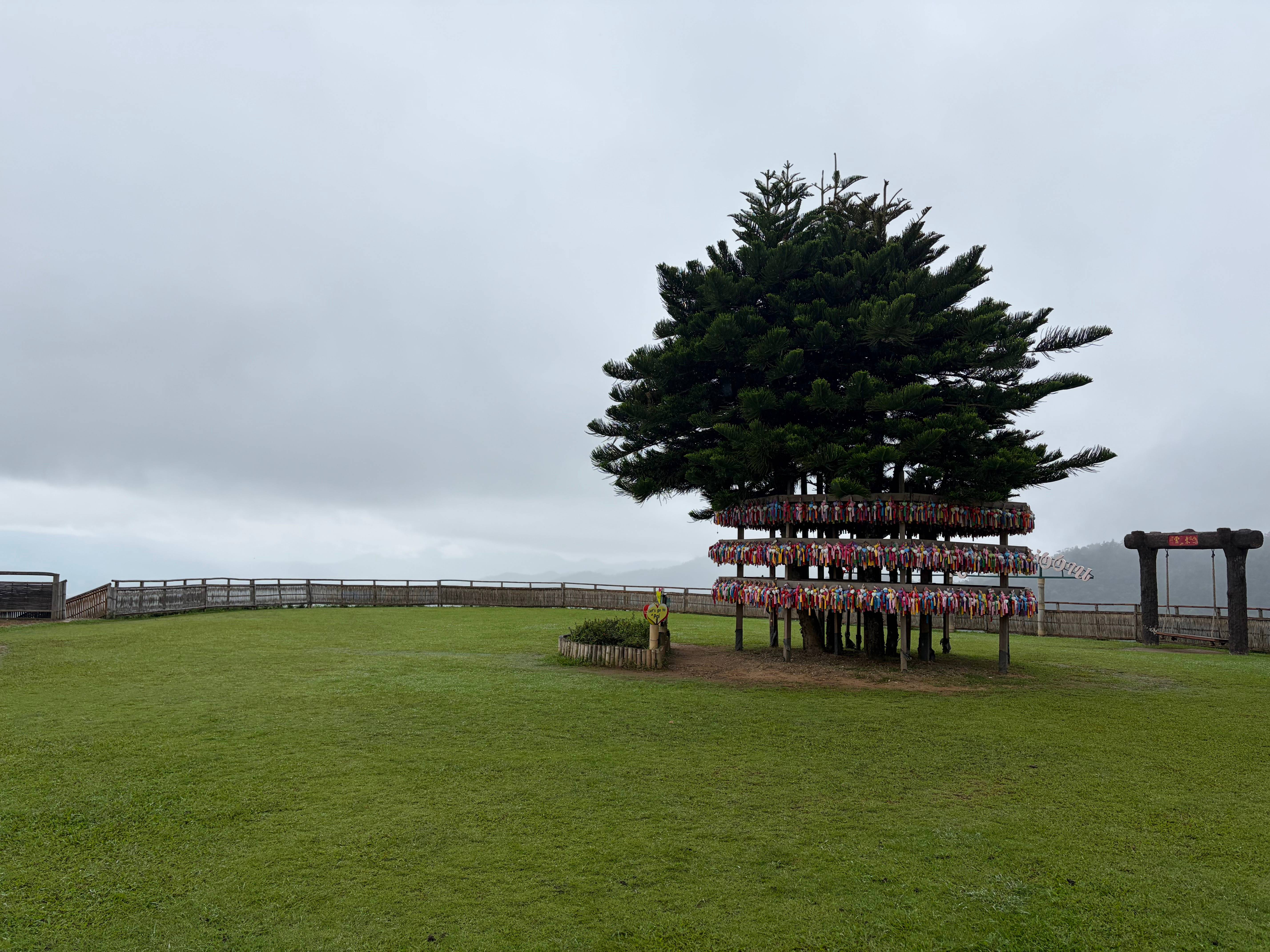
““Sipping hot tea amid the sea of clouds is how Pai people say — slow down a little.””
Gallery
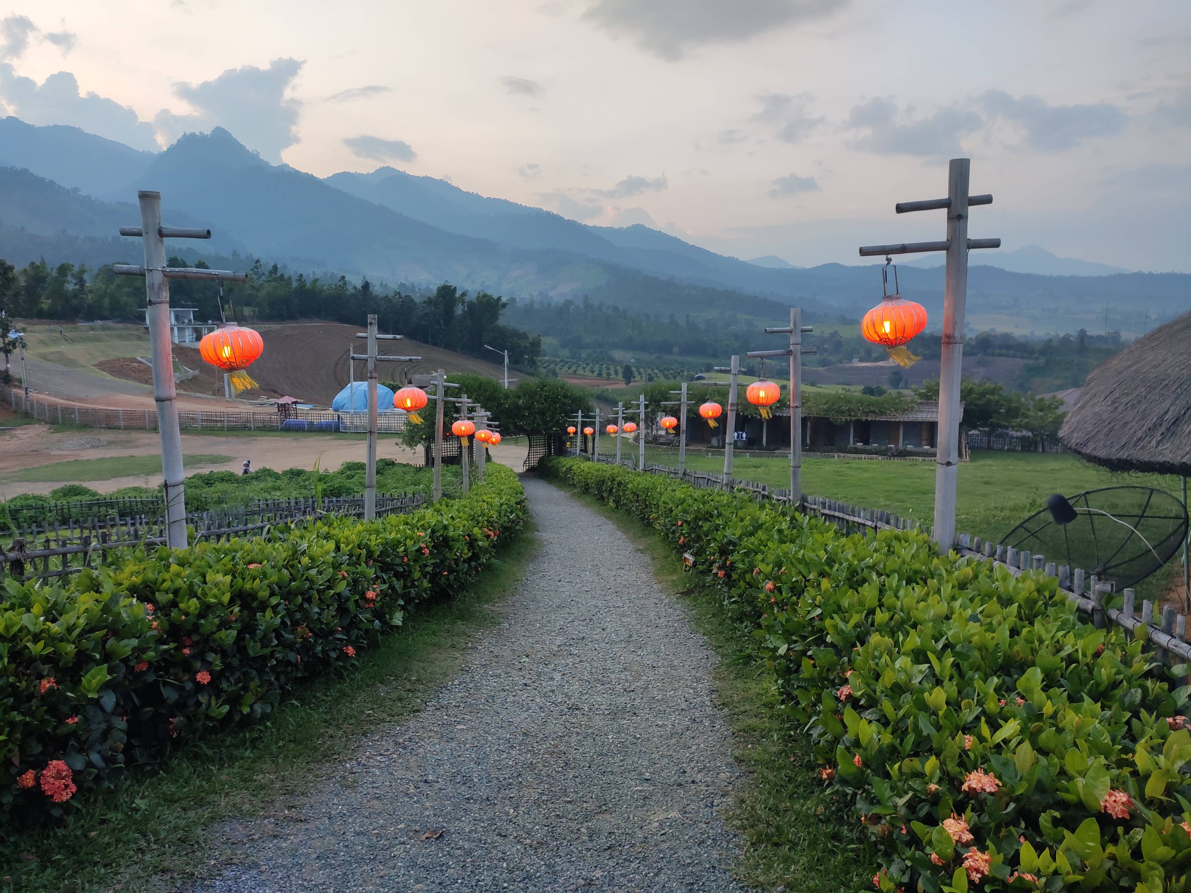
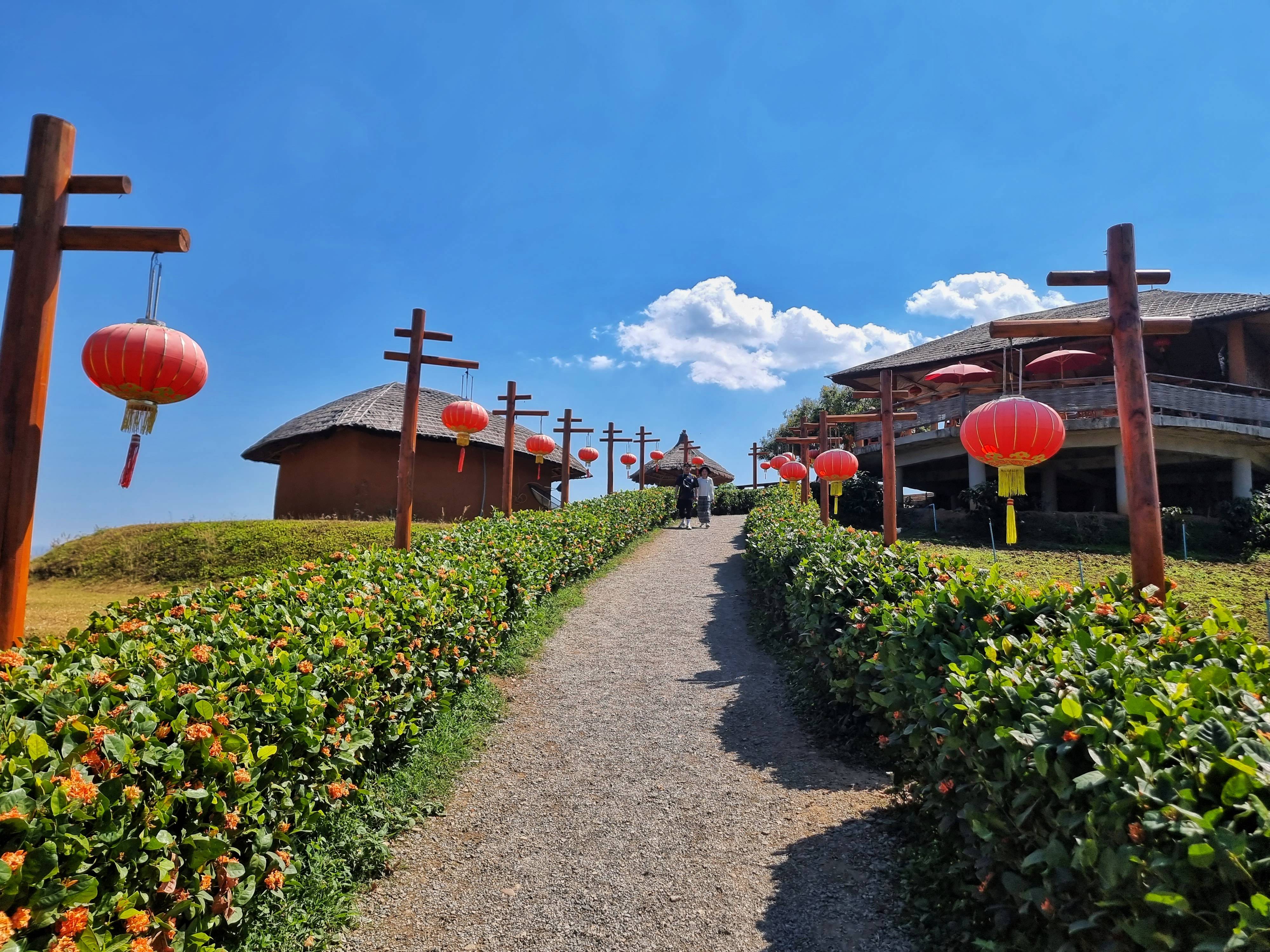
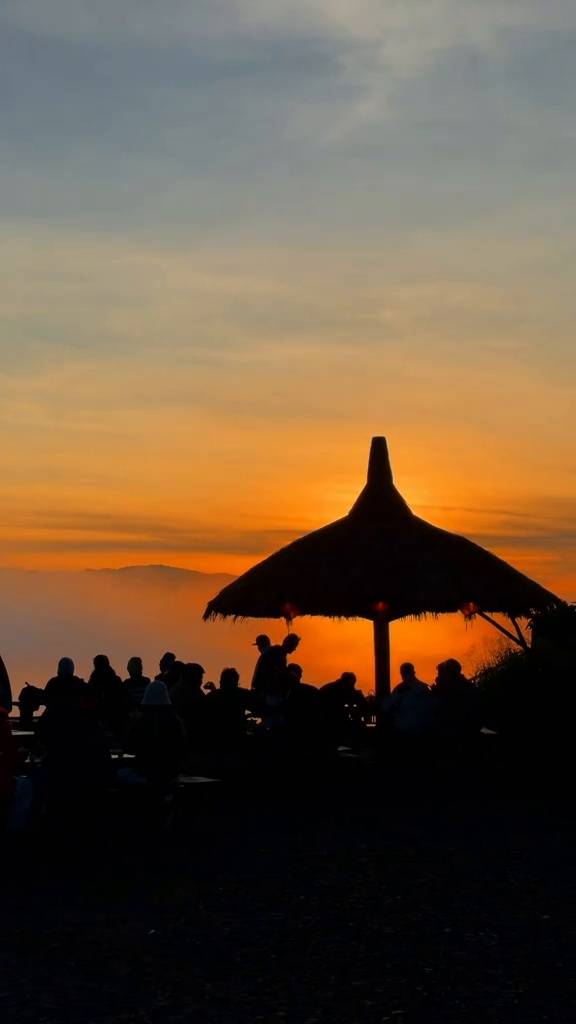
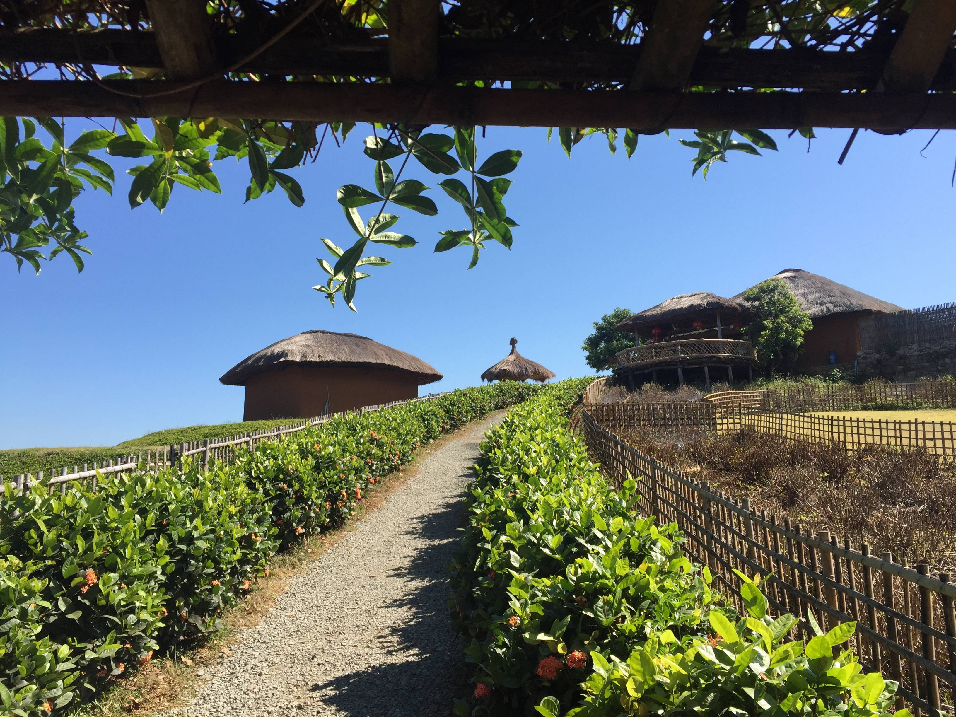
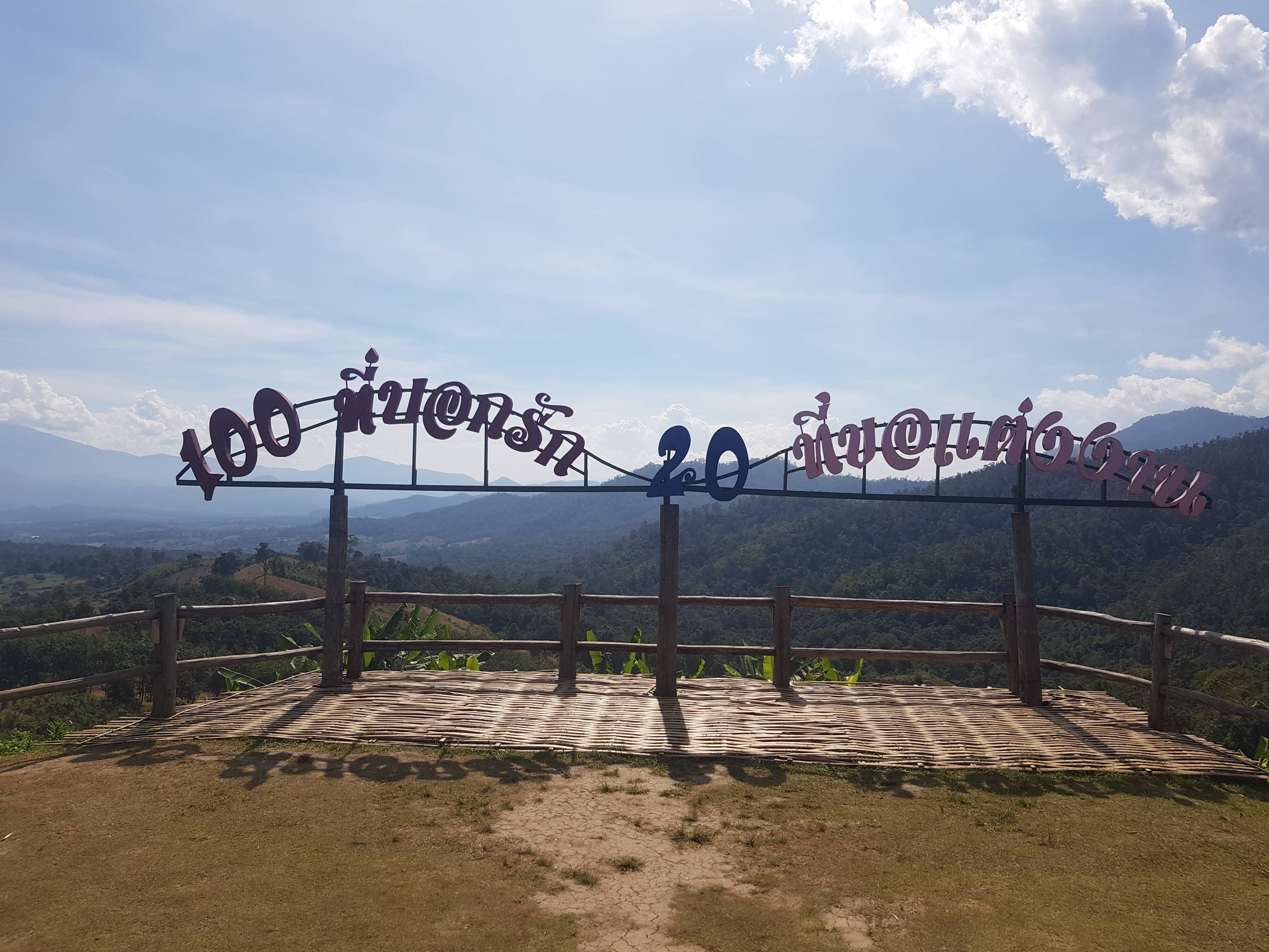
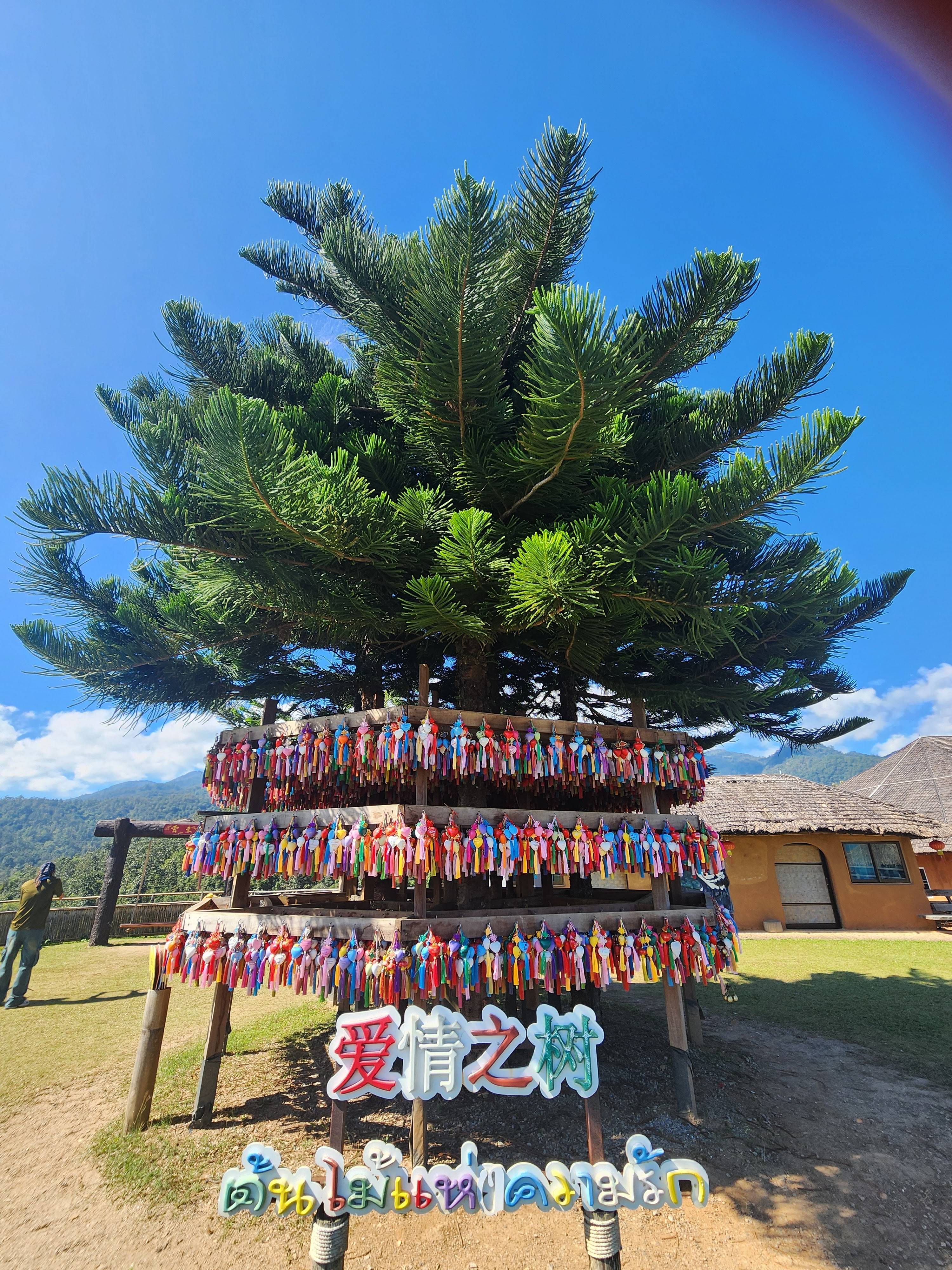
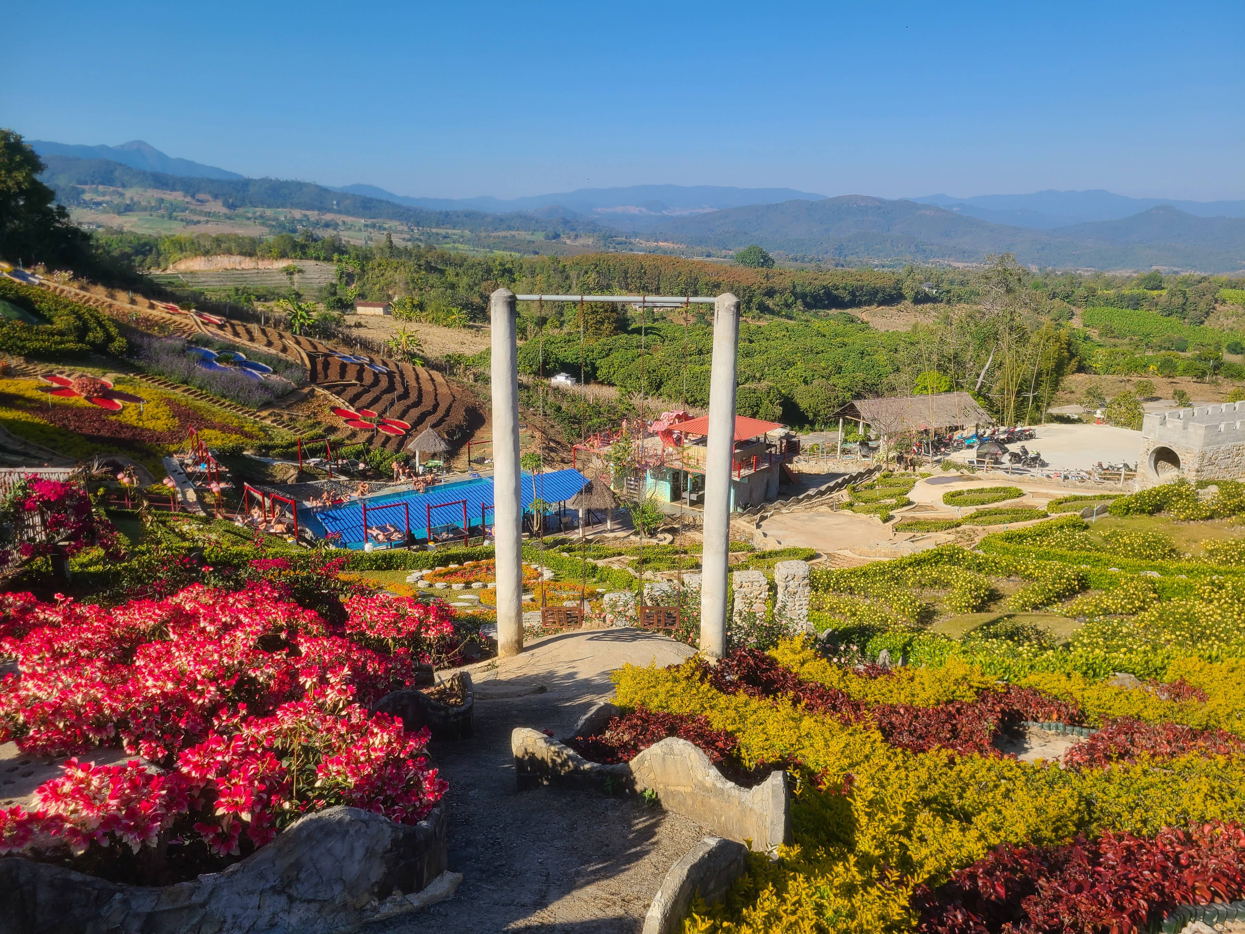
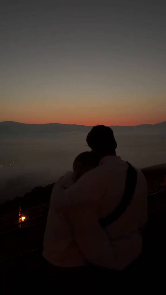
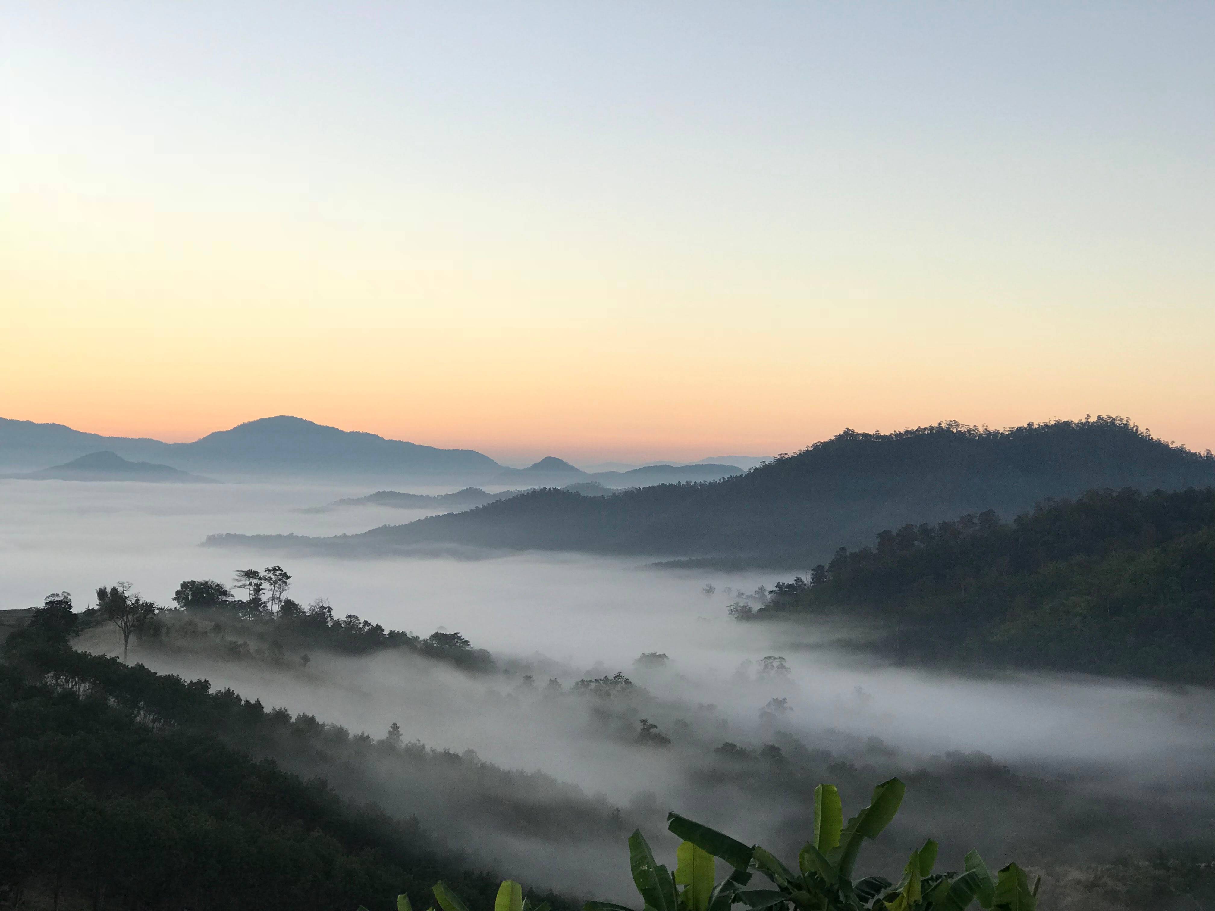
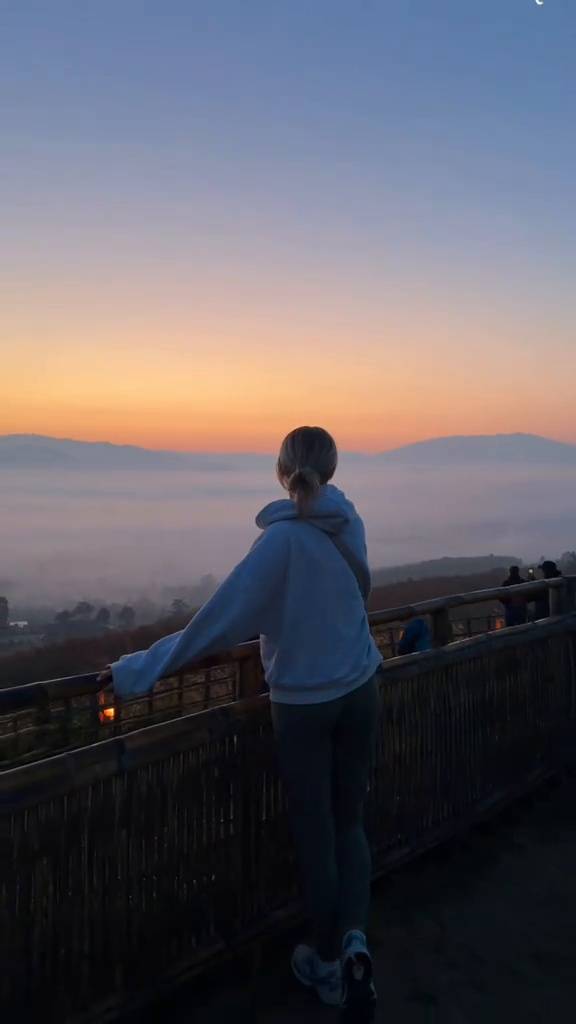
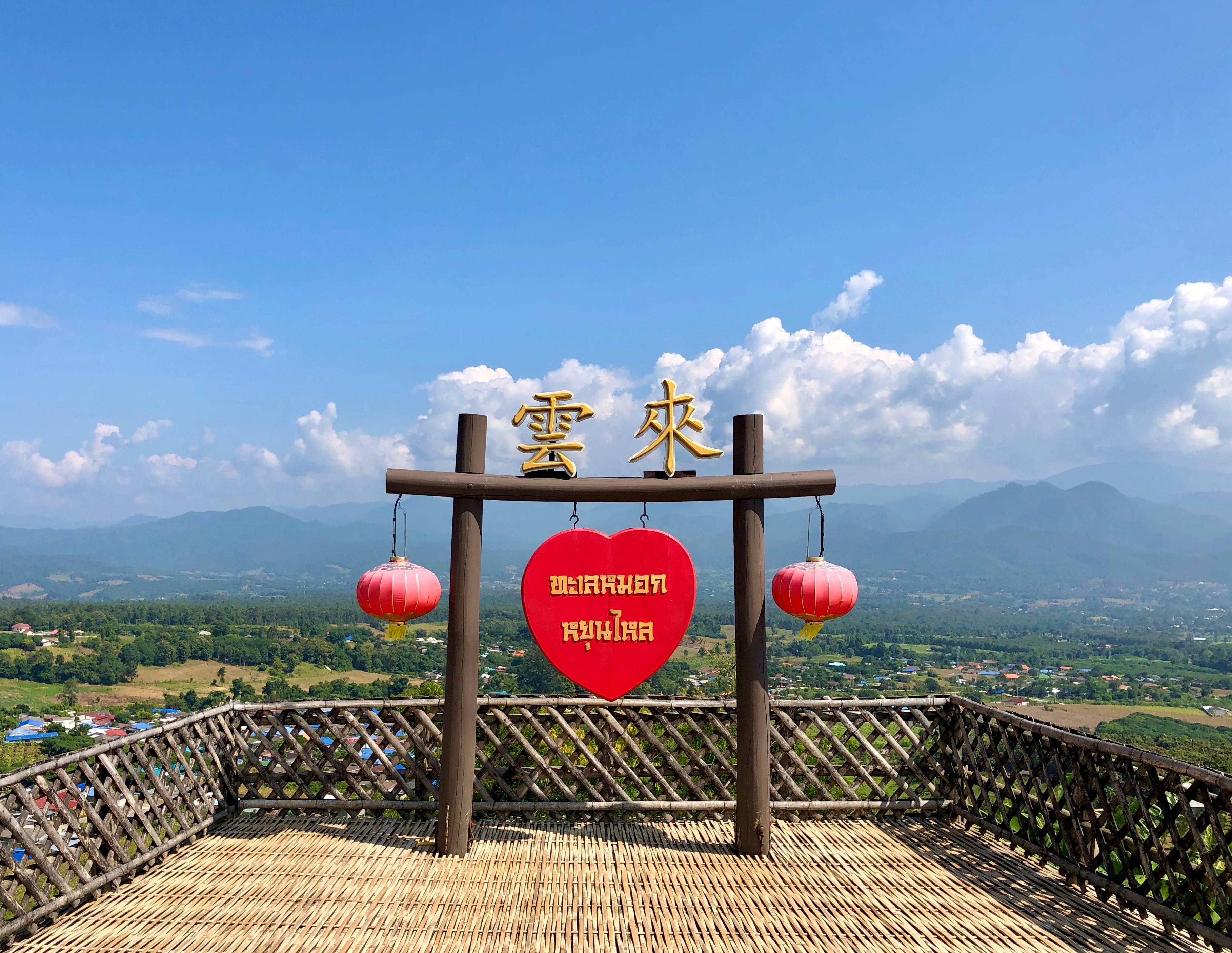
A collection of cloud seas, mountain ranges and life on the Yun Lai ridge through different times of day.
All photos show the real landscape of Yun Lai Viewpoint, Mae Hong Son.
Photos: visitors and the local community.
Image ownership: all images displayed on this website remain the property and copyright of their original photographers.

Reviews
A summary of visitor voices who came to Yun Lai Viewpoint.
Rating and review count synced from Google Maps user reviews · September 2026 · See all reviews on Google Maps ↗
The reviews below are drawn from public comments for general reference only.
Synced from Google Maps user reviews, last synced September 2026; copyright belongs to the original authors and Google Maps.
Visited in December, the fog was thick and photos turned out amazing.
Woke at 5am and was not disappointed, the golden light was beautiful.
The hilltop tea shop was great, cool and comfortable.
Truly 360°, beautiful in every direction.
Winding uphill but not hard to drive, watch the fog.
Camping to watch the morning mist was amazing, recommended.
They have tea and snacks up top, the viewpoint is great.
The white mist tone is beautiful, come super early, worth it.
Fine with kids, short path but watch the slips.
Quieter than other spots, great to relax.
Very cold, bring a warm jacket.
Tiny entry fee but the view is worth it.
View on Google Maps
Sources
Site information is gathered from tourism authorities and publicly available open resources, for learning and conservation.
Weather readings update hourly at the viewpoint's own coordinates; review scores and counts synced from Google Maps user reviews (September 2026); location from GPS coordinates and Plus Code.
Rating and reviews synced from Google Maps user reviews · September 2026; copyright belongs to the original authors and Google Maps.
View all reviews on Google Maps ↗All images displayed on this website remain the property and copyright of their original photographers.
If you find incorrect information or want to add details, please reach us via the email below.
Report a correction© 2026 Yun Lai Viewpoint
Map
The viewpoint sits in northern Pai District, Mae Hong Son. Use the coordinates below for navigation.
📍 999W+J56, Wiang Tai, Pai District, Mae Hong Son 58130, Thailand
🧭 999W+J56 (Wiang Tai, Pai)
🌐 19.3690°N, 98.3954°E (elevation ≈ 1,200 m)
For official updates and regional tourism information, visit Thailand / Mae Hong Son Official Tourism Portal ↗